Geographic Information Systems CUS

Understand the Program
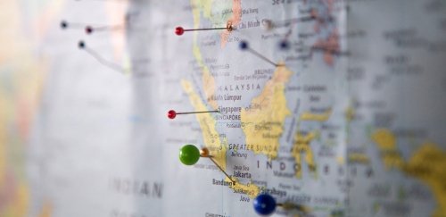
A geographic information system (GIS) links hardware, software, and people to collect, manage, analyze, map, store, update, and present a wide variety of data about human or animal populations, environmental events, and the places where they interact. GIS connects all manner of quantitative data to a base map by integrating location data (i.e., where things are) with all types of descriptive, analytic, or predictive information (i.e., the conditions that exist—or will exist—at the place(s) under study).

Contact Us
Department of Political Science
The Department of Political Science oversees degree programs in political science, public administration, geography and a certificate program in international nongovernmental organizations.
- emailpoliticalsciencedept@ric.edu
- phone401-456-8056
- placeGaige Hall, Suite 240
